Meteorological Crisis: The Threat of Super Typhoon Bavi
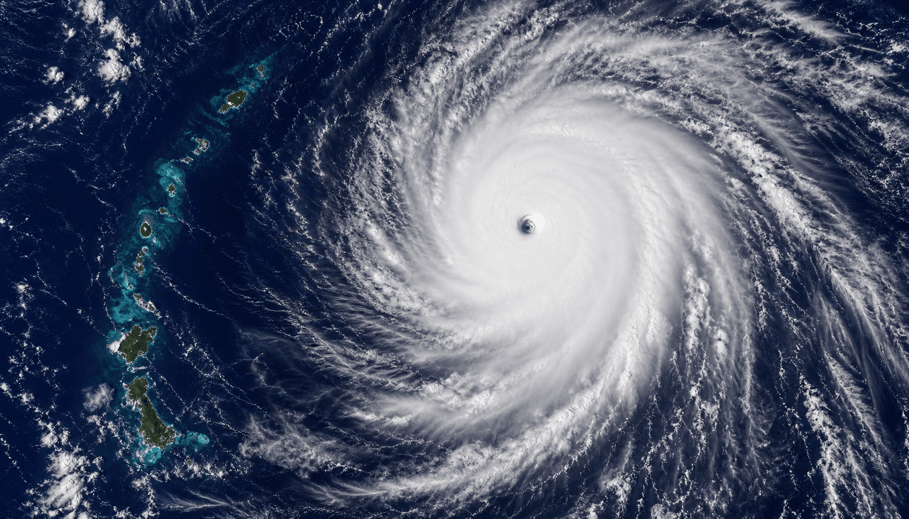
Pacific meteorological monitoring systems have issued a maximum-level alert as Super Typhoon Bavi tracks toward the Marianas with destructive intensity. According to data from the U.S. National Weather Service (NWS), Bavi has reached Category 5 status, with sustained winds of near 140 knots and gusts reaching 170 knots. This makes it one of the most powerful storms to threaten the region in recent memory.
Destructive Environmental Data
Beyond its extreme wind speeds, Bavi poses a severe threat to the marine environment. Observations indicate that seas near the storm center have reached heights of up to 45 feet, posing an existential threat to low-lying coastal areas. Authorities have issued typhoon, coastal flood, and high surf warnings for Guam, Rota, Tinian, and Saipan. Residents are strongly urged to prioritize life-safety measures and avoid all coastal areas.
Regional Response and Expert Analysis
Meteorologists warn that a storm of this magnitude passing through the Marianas will trigger significant storm surges, exacerbating damage to critical infrastructure. Historical meteorological analysis suggests that when the storm center passes within 50 nautical miles of the islands, the impact of storm surges on local economic hubs peaks. Emergency evacuation protocols have been activated across the islands, with multiple shelters opened to the public.
Social Impact and Trends
Public interest in the region is at an all-time high. Google Trends data indicates that searches for "typhoon shelters" and "storm warnings" in Guam have spiked to a score of 92, reflecting heightened public awareness. In contrast, interest in the Taiwan region for this specific weather event sits at approximately 45, primarily among meteorological research communities.
Future Outlook and Monitoring
As Super Typhoon Bavi continues its west-northwest track, the next 24 to 48 hours will be critical for disaster response efforts. The NWS urges citizens not to underestimate minor shifts in the typhoon's path, as such massive storms can inflict lethal damage even with slight track deviations. The government will continue to issue real-time path updates, and all maritime traffic has been ordered to return to port immediately.