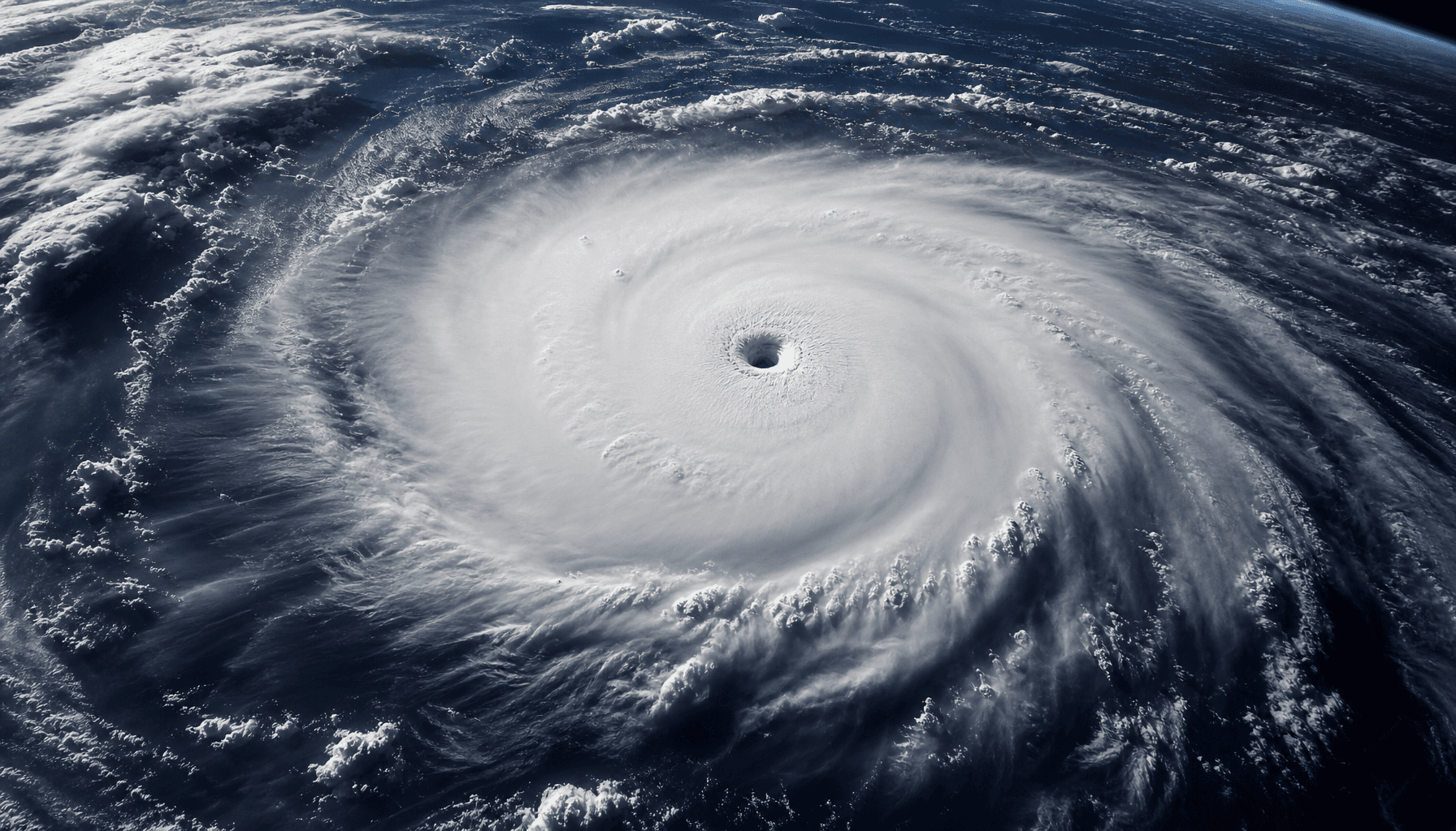
Meteorological Threat Escalation: Super Typhoon Bavi Approaches Guam
According to an emergency warning issued by the National Weather Service (NWS) station in Tiyan, Guam, on July 4, 2026, at 9:46 AM ChST, Super Typhoon Bavi (09W) has rapidly intensified into a Category 5 storm. The cyclone is currently barreling toward Guam and the Northern Mariana Islands, posing a severe threat to infrastructure and public safety in the Western Pacific region.
Key Developments and Technical Specifications
Latest meteorological data indicates that sustained winds near the center of Bavi have reached 150 knots, with gusts climbing as high as 180 knots. Beyond the devastating wind speeds, sea levels are expected to rise with waves reaching up to 45 feet, creating a significant storm surge risk for coastal areas. A Typhoon Watch is currently in effect for the Marianas Coastal Waters and is expected to remain active through at least Tuesday night.
Expert Analysis and Preparedness
Meteorologists are closely monitoring Bavi’s rapid intensification phase, a phenomenon that has introduced significant volatility into short-term path predictions. Satellite imagery confirms that the storm possesses a compact structure with a well-defined eye wall, suggesting that the system will maintain its current intensity as it nears the islands. Experts warn that the convergence of these factors makes the coming 48-hour window critical for island-wide disaster mitigation.
Industry and Social Impact
Public concern is at an all-time high, with search interest for "Typhoon Bavi" and "Guam Typhoon Warning" hitting 95 in the regional metrics. According to Google Trends data, real-time queries regarding emergency evacuation procedures and supply shortages are spiking across the Northern Marianas. Local retailers have reported a surge in demand for emergency supplies, including bottled water, batteries, and canned goods, as residents brace for potential power outages.
Regulatory and Legal Implications
In accordance with FEMA emergency response protocols, the regional government has activated comprehensive disaster response plans. These measures include mandatory evacuations for residents in low-lying coastal zones and the hardening of critical infrastructure, such as power grids and communication arrays. Under Title 44 federal regulations, local authorities have the legal mandate to facilitate emergency asset deployment to ensure the continuity of essential services during the storm's impact.
Future Outlook and Monitoring
The next 48 hours represent a critical period for Guam and the Northern Marianas. Authorities are strongly advising residents to avoid all unnecessary travel, remain indoors, and keep away from windows or structures vulnerable to high-velocity winds. FrontierDaily will continue to monitor the trajectory of Super Typhoon Bavi, providing live updates as new alerts are released by the National Weather Service.