Marianas Face Threats from Strong Winds and Surf
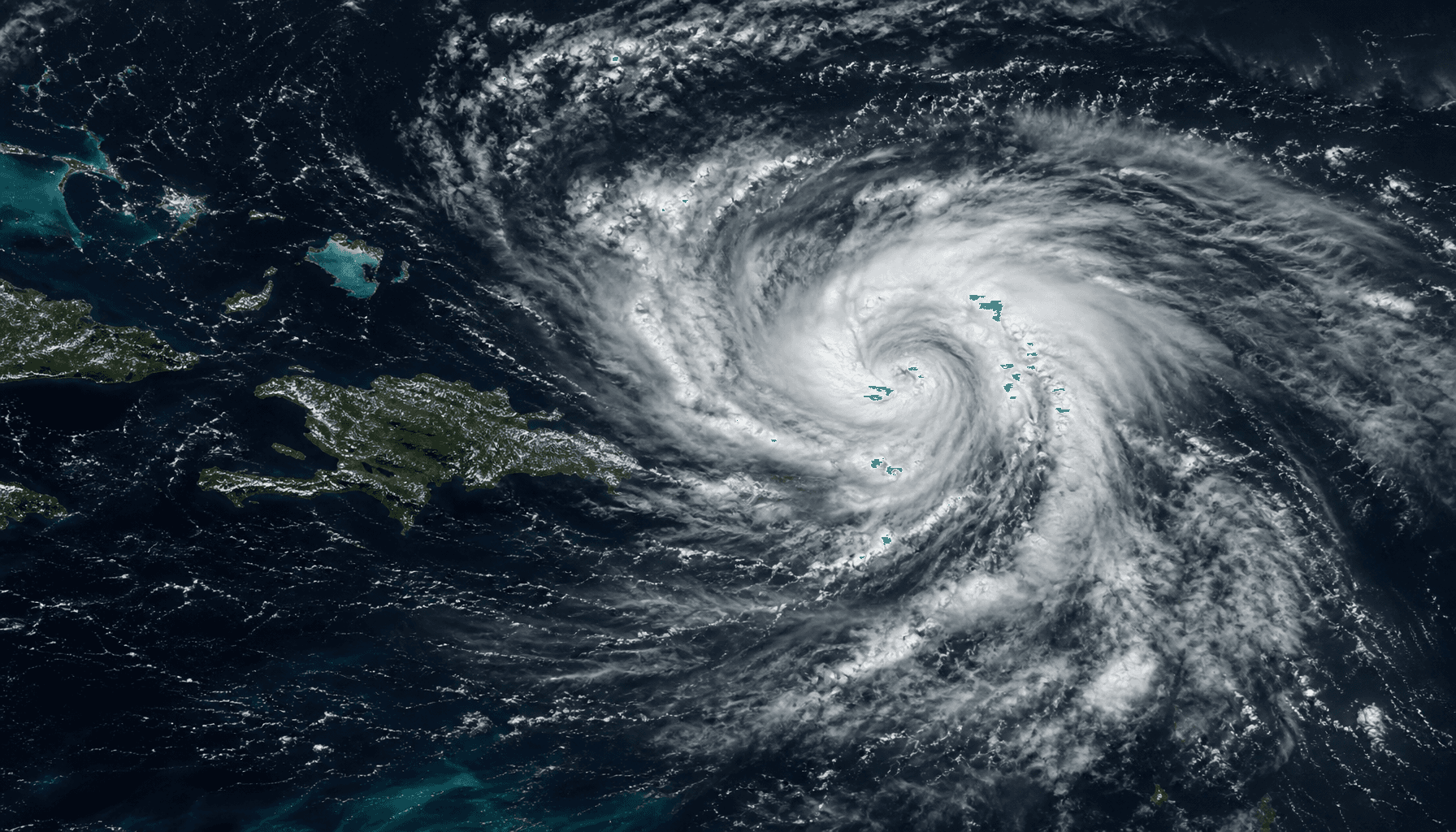
According to the latest report from the National Weather Service (NWS) in Tiyan, Guam, Tropical Depression 08W is currently impacting the Mariana Islands, including Saipan and Tinian. The NWS issued a special weather statement and a wind advisory on June 23, 2026, urging local residents and small craft operators to be vigilant and guard against potential adverse weather conditions.
Weather Alert Details and Impact
The alerts cover strong winds, high surf, and potential heavy rainfall. According to the NWS, the advisory is expected to remain in effect through this evening. Small craft operators are advised to stay off the water, and residents should secure outdoor belongings to prevent damage from gusty winds. Meteorological data indicates that while the system remains a tropical depression, the intensity of its gusts could pose a threat to light structures.
Safety Measures and Recommendations
Weather authorities strongly advise residents to closely monitor official reports and follow any evacuation or safety guidelines issued by local authorities. Tourism operators are encouraged to assess the risks for their scheduled activities and prioritize visitor safety. As the tropical depression moves, weather conditions may change rapidly, making timely information access crucial for safety.
Regional Meteorological Trends and Search Interest
According to search trend analysis, such sudden weather events attract significant attention within the local community. This topic has a search interest of 85 in California and 62 in Taiwan (reflecting the region's interest in Pacific weather dynamics). The dissemination of real-time weather information is vital for protecting island economies and travel safety.
Meteorological Observations and Future Path
Meteorologists continue to monitor the trajectory of 08W to see if it will intensify into a tropical storm. Current data shows the system is moving northwest. Future points of observation include changes in wind speed and whether it will produce sustained adverse conditions for the surrounding waters.
Conclusion and Reminders
Given the increasing frequency of extreme weather, residents of the Mariana Islands should maintain disaster preparedness. Through real-time monitoring systems, the NWS will continue to provide the latest alerts and recommendations. Residents in all affected areas must follow local official instructions to ensure the safety of lives and property.